Call
Call
Lake Garda - Lifestyle
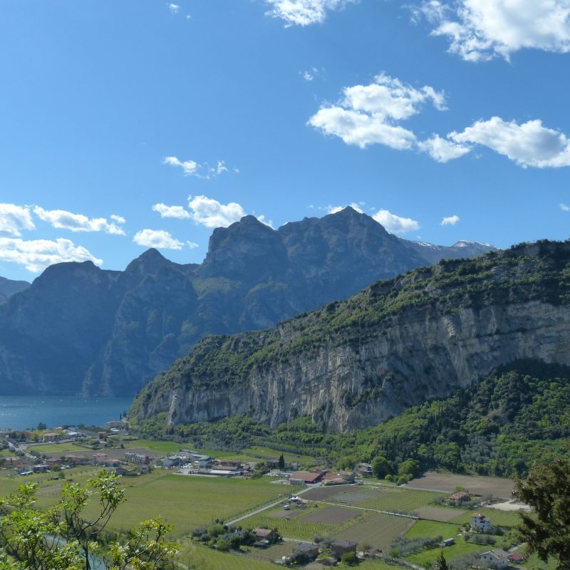
Mount Brione is probably the best-known morphological feature of Upper Garda. With its crescent-moon shape, it stands right at the end of the Sarca valley, where the river meets the lake. Its 376 meters above sea level divide the Municipality of Riva del Garda from that of Arco, whose territory reaches the lake with a narrow offshoot wedged between the mountain and the river.
From Residence Centro Vela, it is possible to admire the western side of Brione, sloping gently towards the bottom of the valley with a series of terraces planted with olive trees. The eastern face of Brione appears as a steep cliff overlooking the lake, with vertical rock faces up to 250 meters high.
Brione’s location in the center of the plain has made it the most strategic position for the defense of Upper Garda and the roads to the north. In fact, there are traces of several fortifications (mostly dating back to the Great War) still visible on Brione and its surroundings.
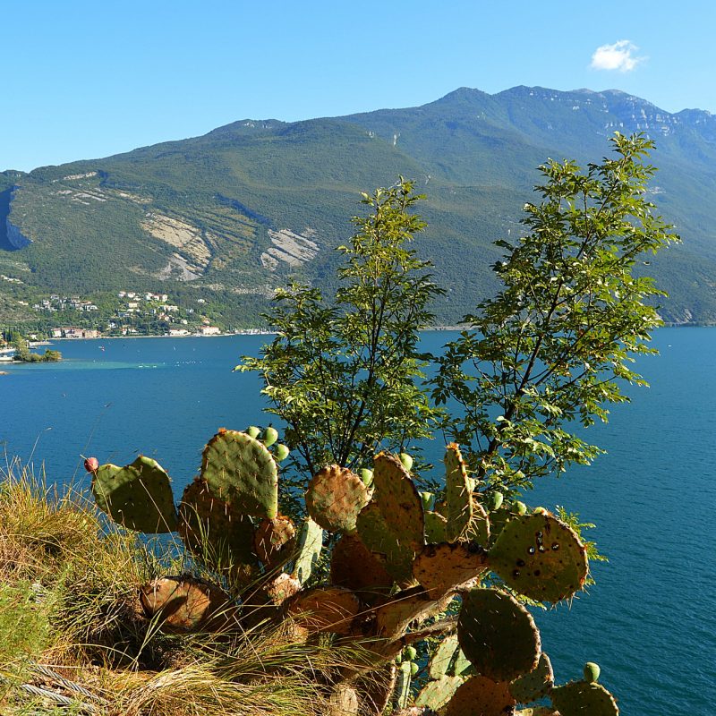
In 1992, most of the territory of Mount Brione was declared a biotope, or a protected natural area. The flora, consisting of almost 500 species, is especially interesting. The unique climatic conditions of Upper Garda mean that sub-Mediterranean species (such as holm oak, box, broom and laurel) and other typically Alpine species (such as Globularia cordifolia and some species of Plantaginaceae) can coexist on Brione.
There are also many birds that choose its rocky walls to nest. Among these, it’s possible to spot some very rare species at these latitudes, such as the blue rock thrush and the black redstart.
As mentioned before, Mount Brione is also very interesting from a historical point of view. There are remains of past eras still visible at its feet, on its slopes and at the top. Specifically, you can still see several examples of Habsburg fortifications.
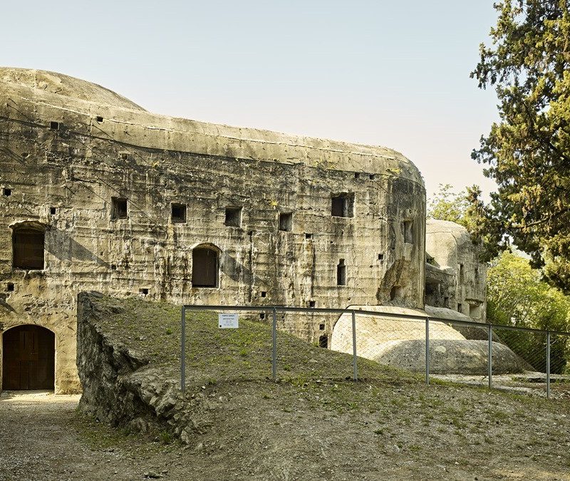
The best known is probably Forte Garda. Built between 1904 and 1907, it is an armored fort made with reinforced concrete. It could accommodate up to 200 men, to defend the road that leads from Lake Garda to Trento, and from there to the Brenner.
Recently, Forte Garda has been completely restored and made safe, and today it forms part of the so-called “Path of Peace” of Mount Brione. During the summer it can be visited every day from 10 AM to 5 PM. Guided tours are often organized by the Alto Garda Museum.
Mount Brione is the perfect destination for easy hikes and light trekking. The ideal starting point is the car park in via Monte Brione, very close to Forte San Nicolò. From there, the trail climbs up the western side of the mountain.
There are steps as well as flatter sections, so hiking with a stroller or with very young children can be quite challenging. The route is very scenic, with views sweeping up to the southern shore of the lake. After half an hour of walking, you will reach Forte Garda, the fortification mentioned above. The path crosses right over the roof of the fort.
Another thirty minutes of ascent (not as steep as the first stretch) and you will find yourself at Forte Batteria di Mezzo, another structure dating back to the Great War. Your trekking on Mount Brione can then continues up to the summit cross, the highest point on the excursion. On the way back, you can choose to go the same way, or take the paved road to the valley through the olive groves.

Contacts
We are here for you
Call
Reach us
Viale Rovereto, 101
38066 Riva del Garda
TN, Italy