Call
Call
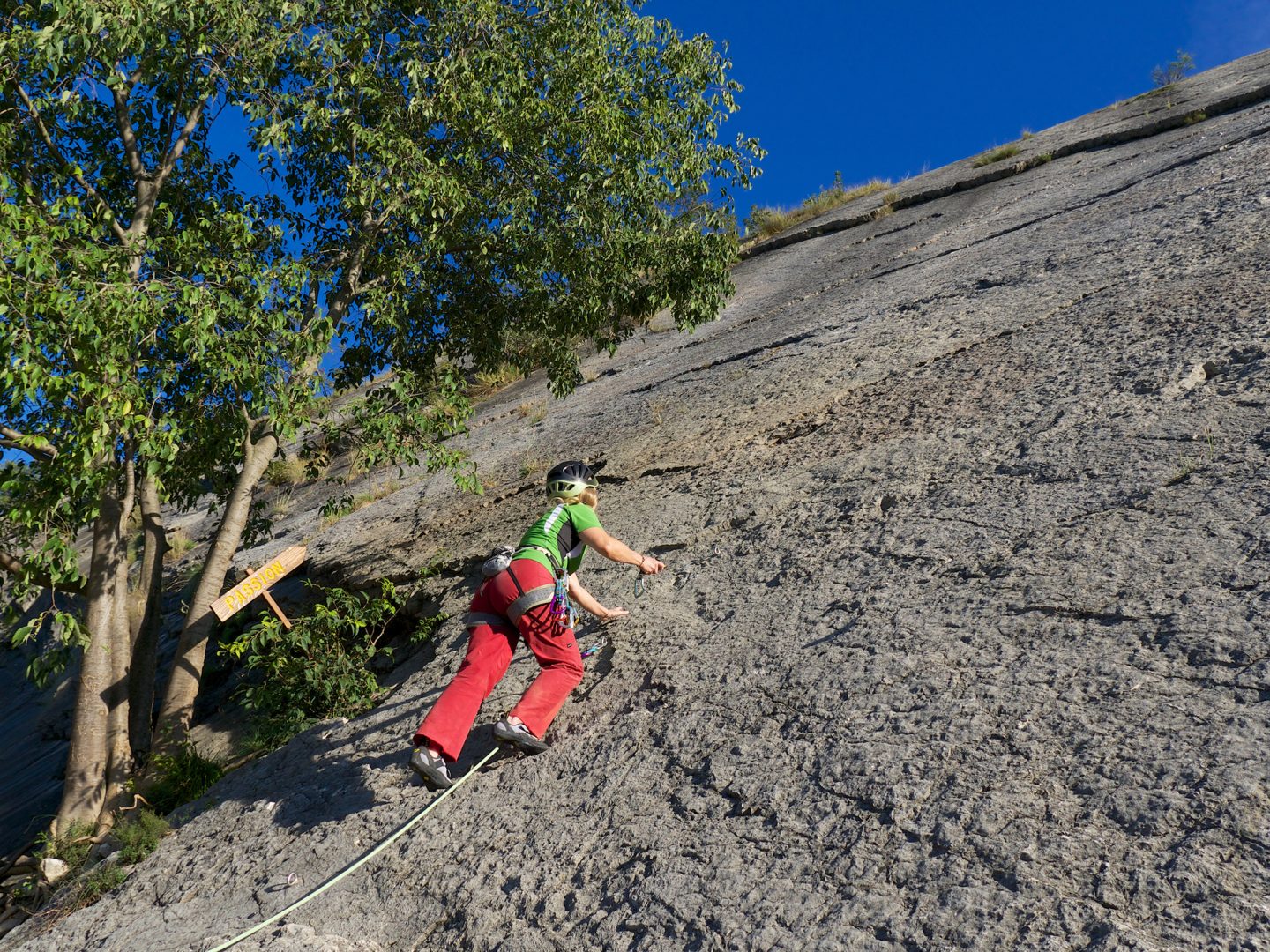
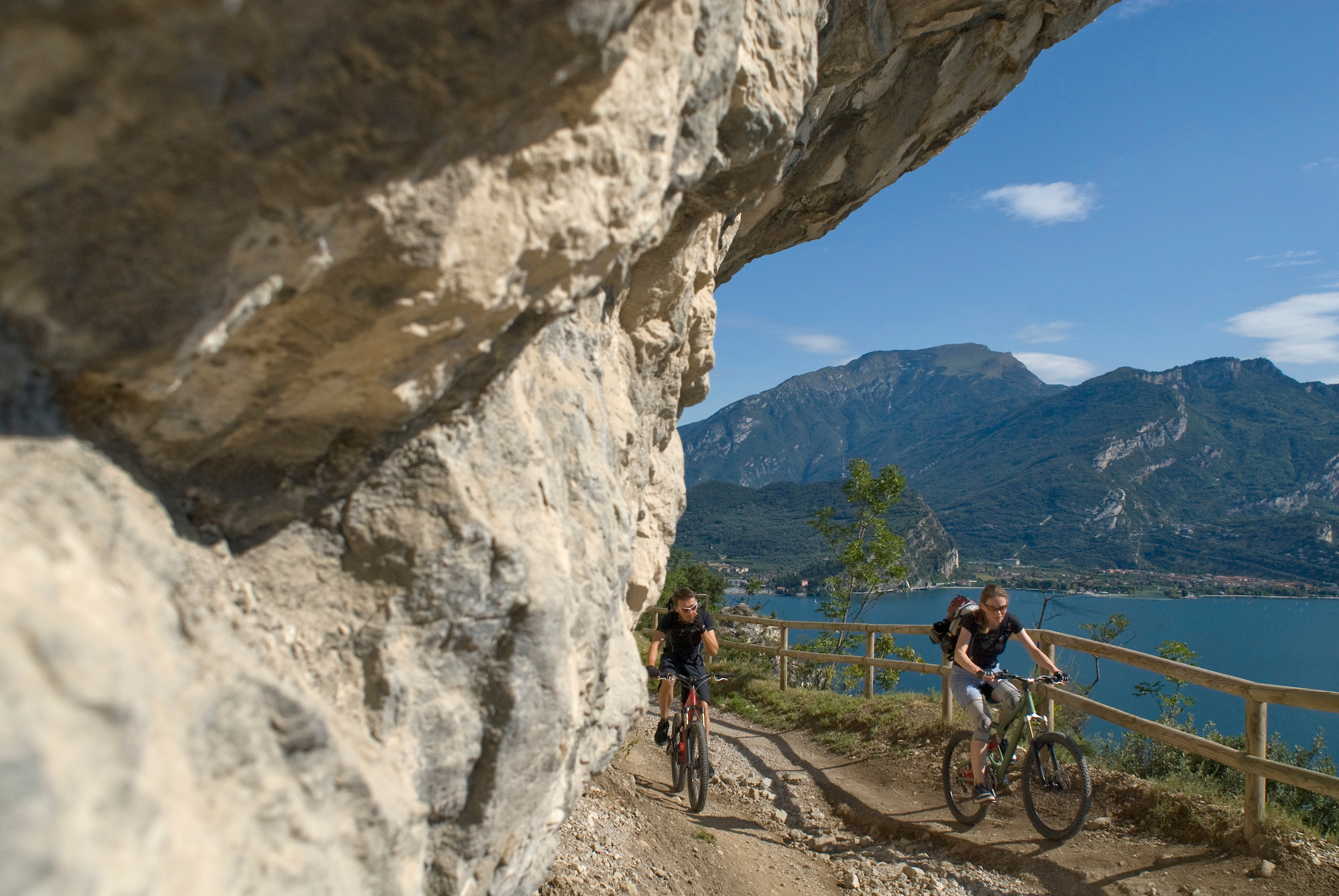
Our territory is so special and so appreciated by visitors from all over the world not only for its crags, paradise for sport climbers, but also for its panorama, and magnificent via ferrata with a view. We’ll be waiting for you in Garda Trentino with the most beautiful climbing crags in Italy, 20 equipped via ferrata and 600 km of trekking paths – a wide choice of itineraries, of natural and geological interest.
Special offers
Exclusive offers for your Smart holiday!
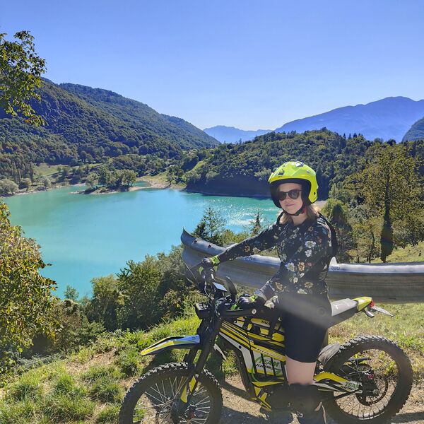
Family, bike, lake, rock and more... we have many different special offers for those of you who book directly from our site.
Are you visiting us for a weekend? Or for a longer holiday? Are you just looking for interesting ways to enjoy a family holiday, or do you want to plan outdoor experiences? Have a look – we have plenty of special offers to fulfil your holiday needs!
March - April 2024
From 01.05 to 31.10.2024
from 1st of March to 31st of October 2024
Contacts
We are here for you
Call
Reach us
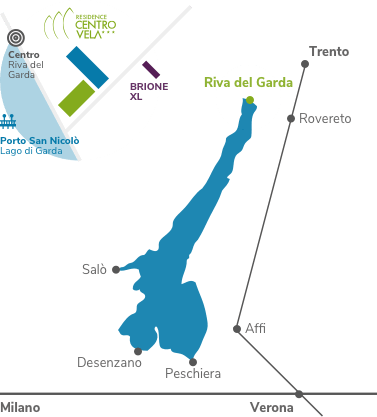
Viale Rovereto, 101
38066 Riva del Garda
TN, Italy